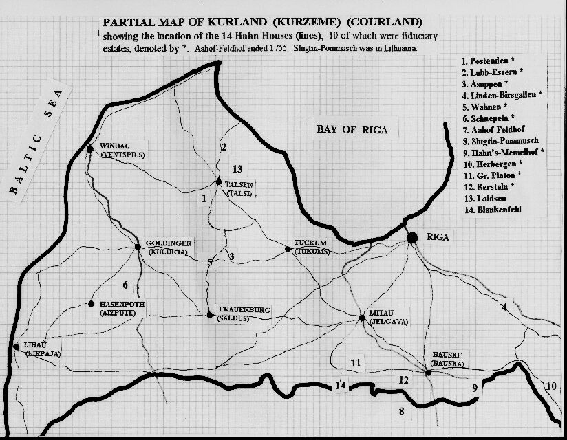
Curland – Kurland Historical Maps
Posted in Maps
More maps can also be found at University of Bern’s online archives.
-
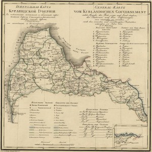
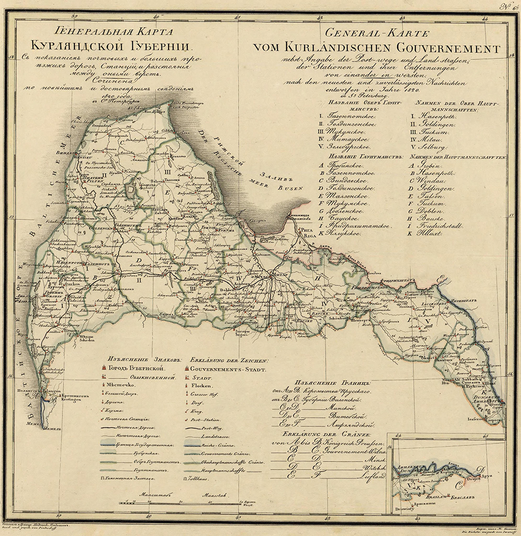
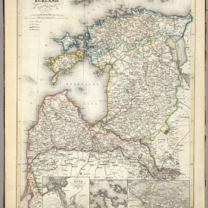
- 1820 Kurland Guberniya | Source: http://lithuanianmaps.com/Maps1816-25.html
-
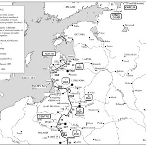
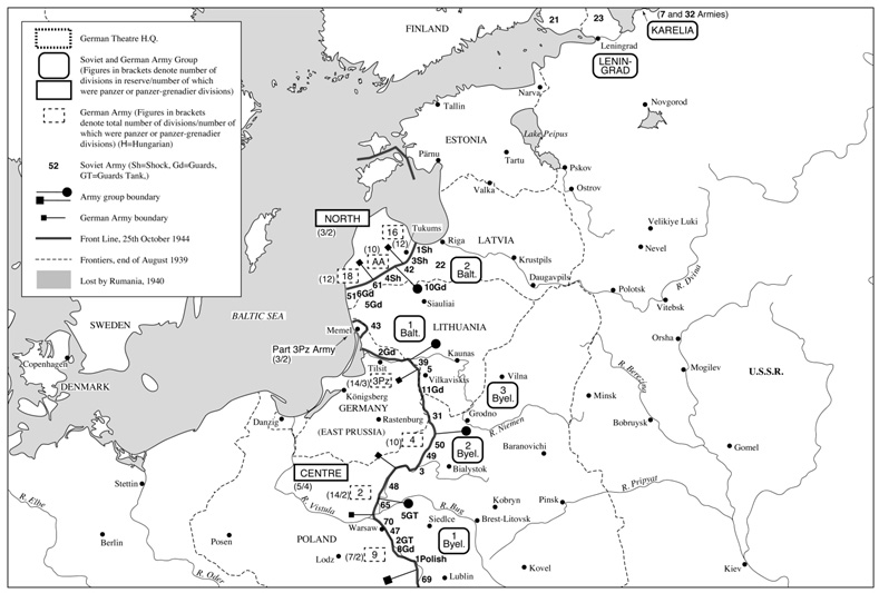
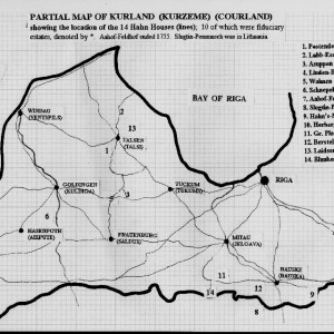
- 1944 Kurland Russian German front (Army Grop North) | Source: http://www.warrelics.eu/forum/battlefield-archaeology/digging-in-kurland-20971-12/
-
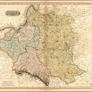
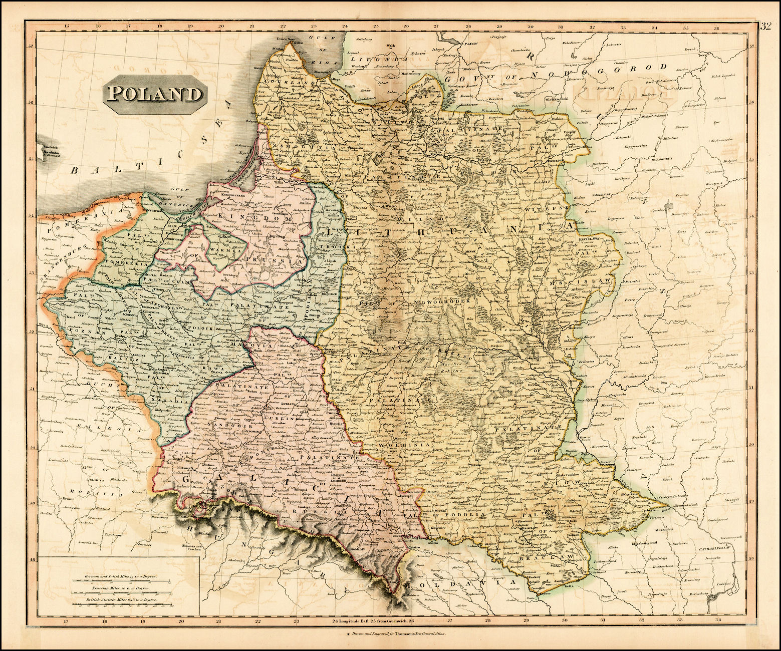
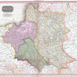
- 1817 Poland by John Thomson | Source: http://lithuanianmaps.com/Maps1816-25.html
-
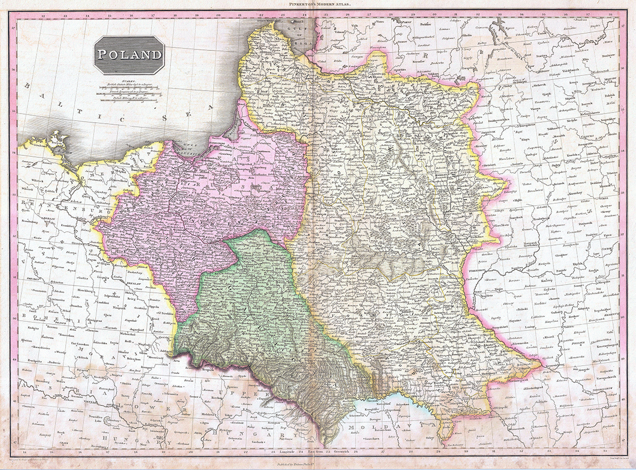
- 1818 Pinkerton Map of Poland – Geographicus | Source: http://lithuanianmaps.com/Maps1816-25.html
-
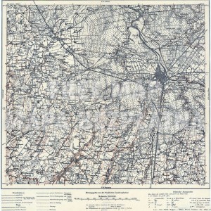
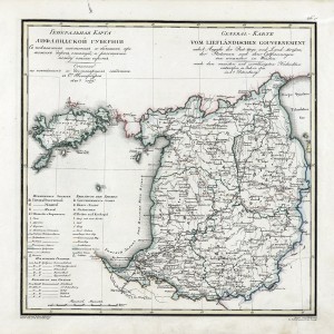
- Mitau | Source: http://easteurotopo.org/indices/kdwr/view/viewer.php?name=Mitau

-
- Kurland
-
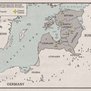
- Source: united baltic duchy map by rarayn | Source: http://rarayn.deviantart.com/art/United-Baltic-Duchy-Map-279726197

-
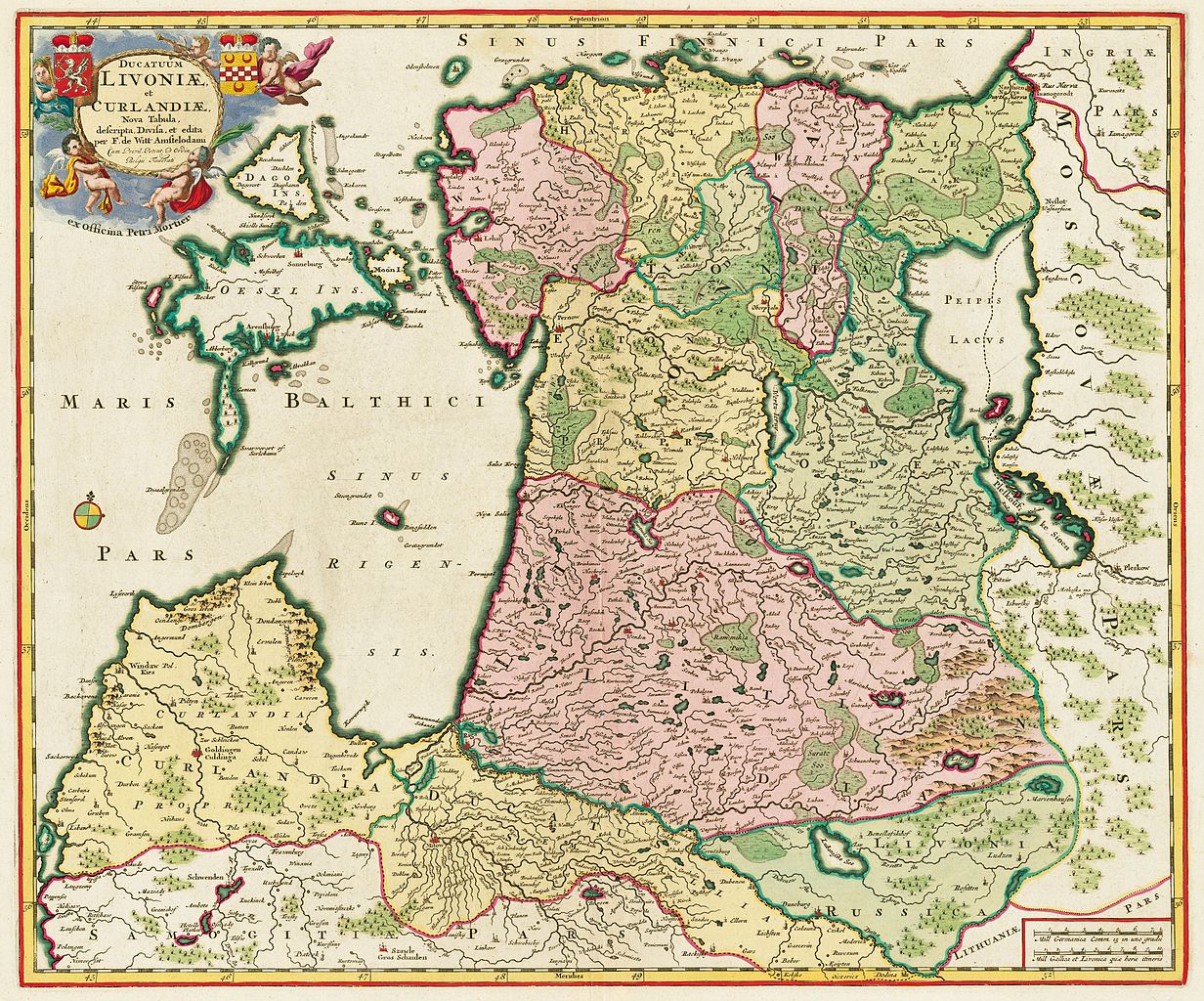
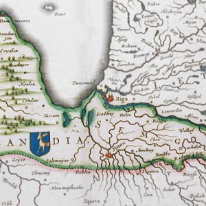
- 1705 Ducatuum Livoniae et Curlandiae Nova Tabula | Source: http://en.wikipedia.org/wiki/File:Ducatuum_Livoniae_et_Curlandiae_Nova_Tabula,_1705.jpg
-
- 1917 Kurland
-
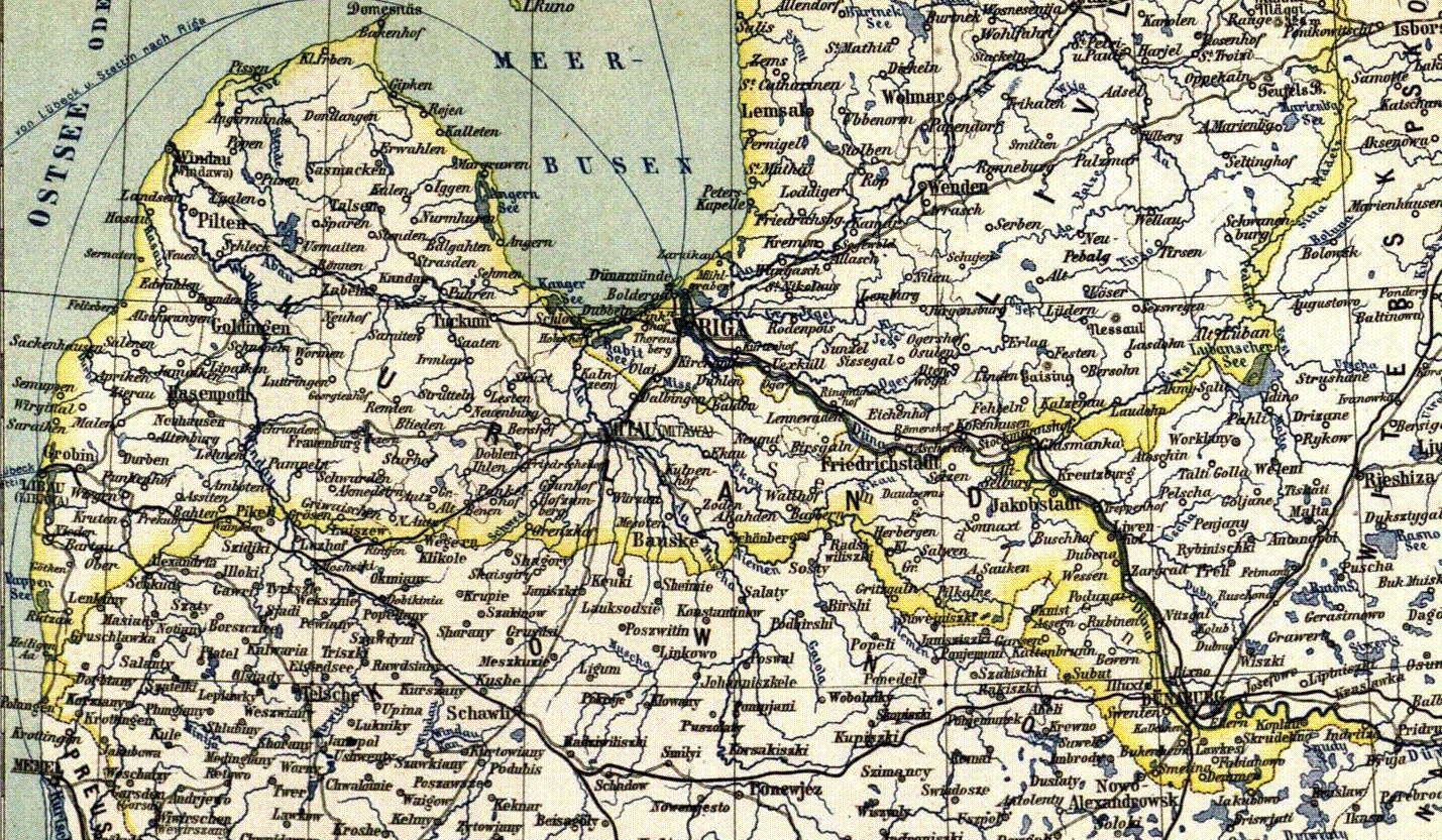
- Kurland Karte

-
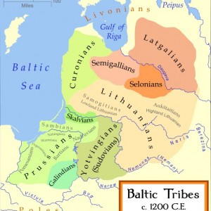
- 1200 Baltic Tribes | Source: http://en.wikipedia.org/wiki/File:Baltic_Tribes_c_1200.svg

-
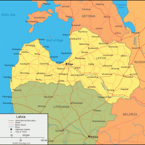
- Latvia Map | Source: http://geology.com/world/latvia-satellite-image.shtml

-
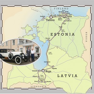
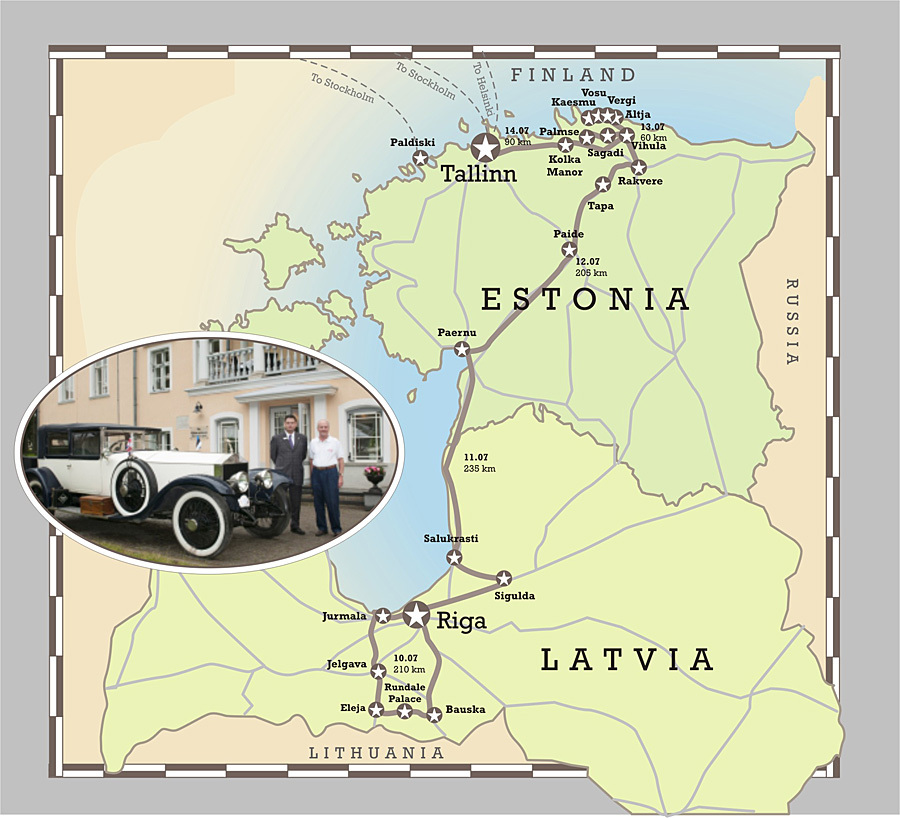
- Baltic Vintage and Classic Car Rally map | Source: http://www.vihulamanor.com/retrobalticrally/program.html
-

- 1749 – Die Hertzogthümer Curland und Liefland by JG Schreibern | Source: http://commons.wikimedia.org/wiki/File:Die_Hertzogth%C3%BCmer_Curland_und_Liefland.jpg

-
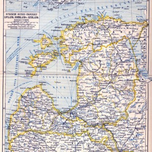
- Russische Ostsee-Provinzen Livland, Esthland, und Kurland Meyerbaltikum | Source: http://en.academic.ru/dic.nsf/enwiki/3843942

-
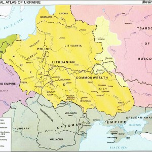
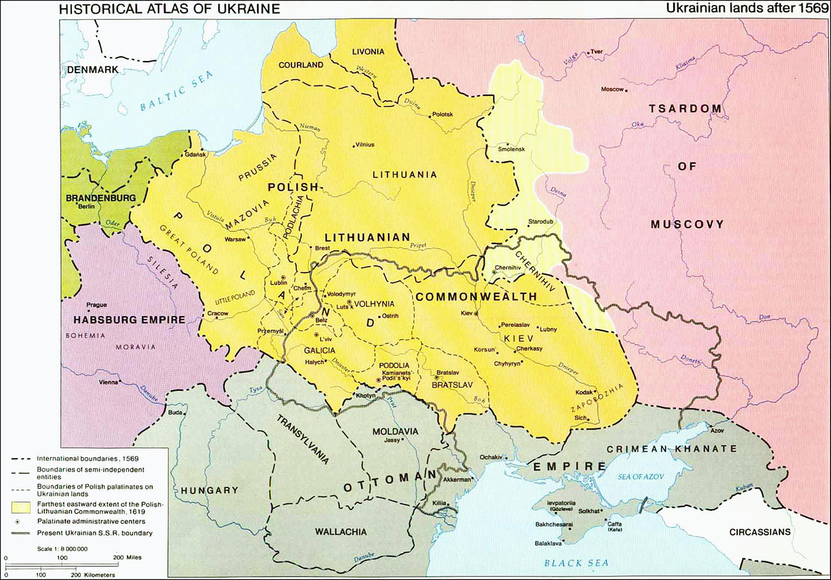
- 1569 Historical Ukrainian Lands | Source: http://forum.paradoxplaza.com/forum/showthread.php?186226-New-map-Poland-and-Lithuania/page24
-
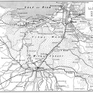
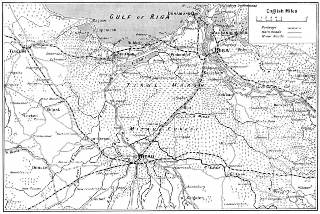
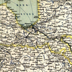
- 1915 Map of Riga to Mitau | Source: http://www.probertencyclopaedia.com/photolib/maps/Map%20of%20Riga%20to%20Mitau%201915.htm

-
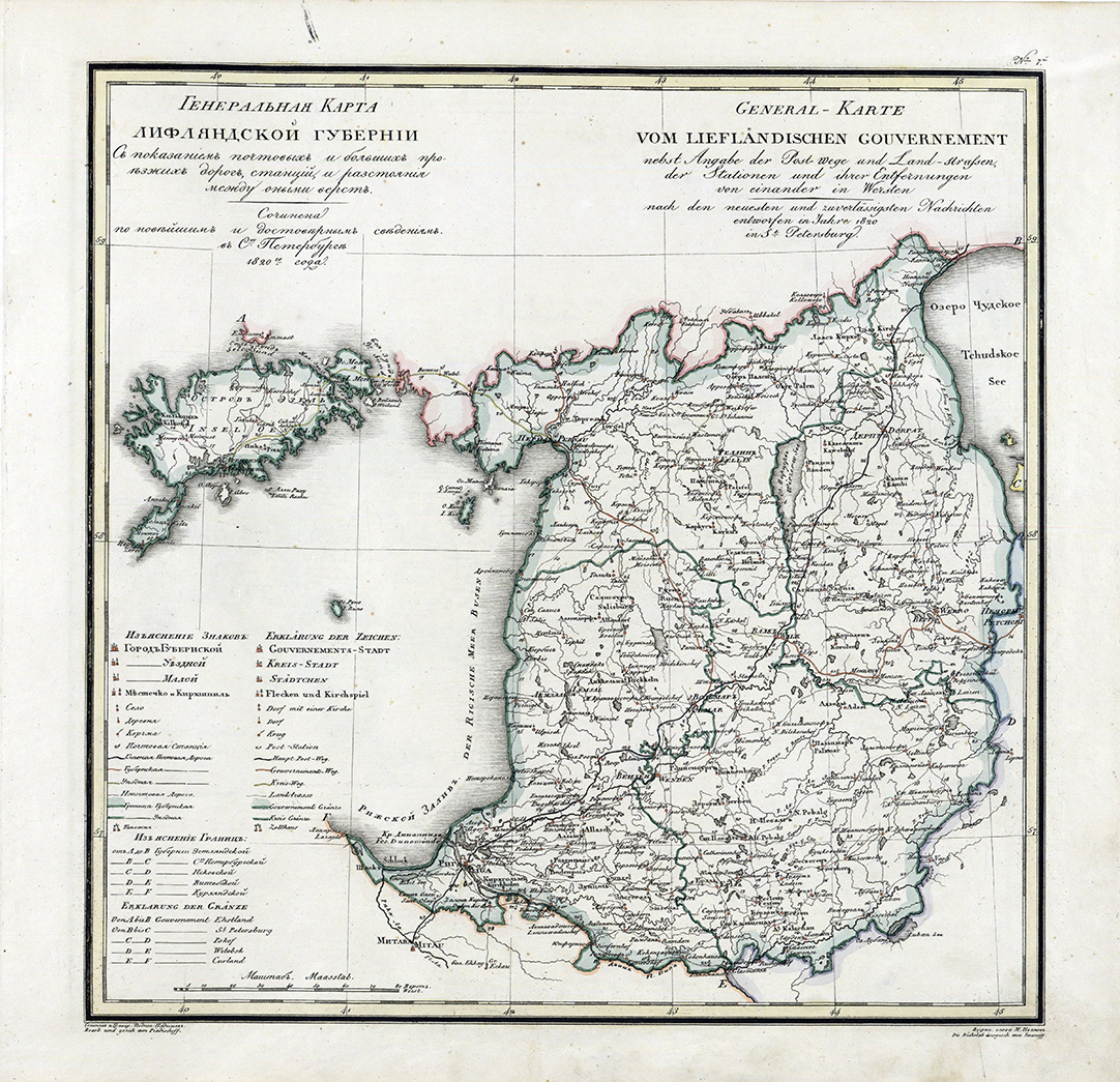
- 1820 Livonia Guberniya | Source: http://lithuanianmaps.com/Maps1816-25.html
-
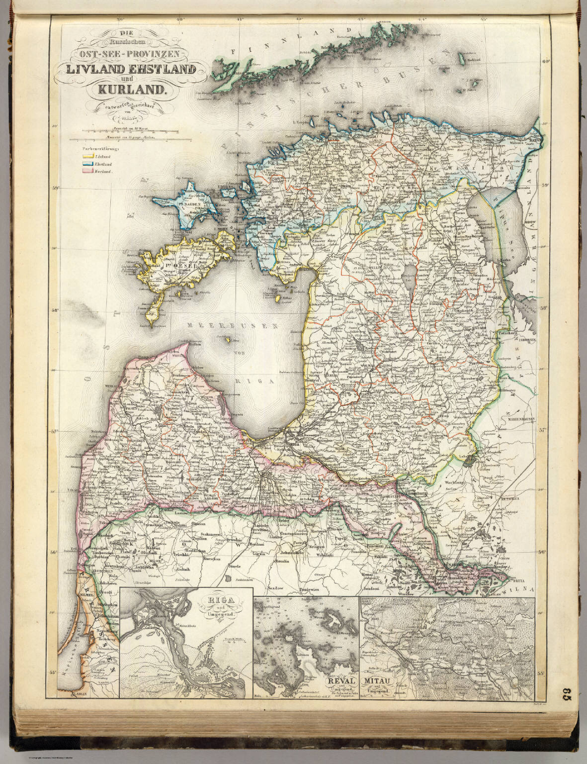
- Livland Ehstland und Kurland | Source: http://www.davidrumsey.com/luna/servlet/detail/RUMSEY~8~1~21914~690006:Die-Russischen-Ost-See-Provinzen-Li